The best trails in Juneau Alaska
Trails around downtown, the Mendenhall Valley, and Douglas Island:
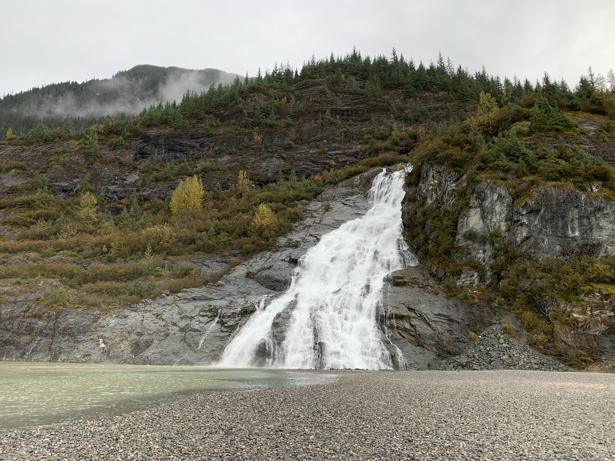
Nugget Falls Trail: 2 miles, easy
It is a 2 mile out and back trail, that is really more of a walk. It is pretty flat and paved trail for most of it, so a good one even for the non hikers. It starts at the Mendenhall Visitors Center, so you can take in views of the glacier before setting off. At the falls you have great views of the glacier across the lake and can get up close to the massive waterfall as it cascades down the cliffside.
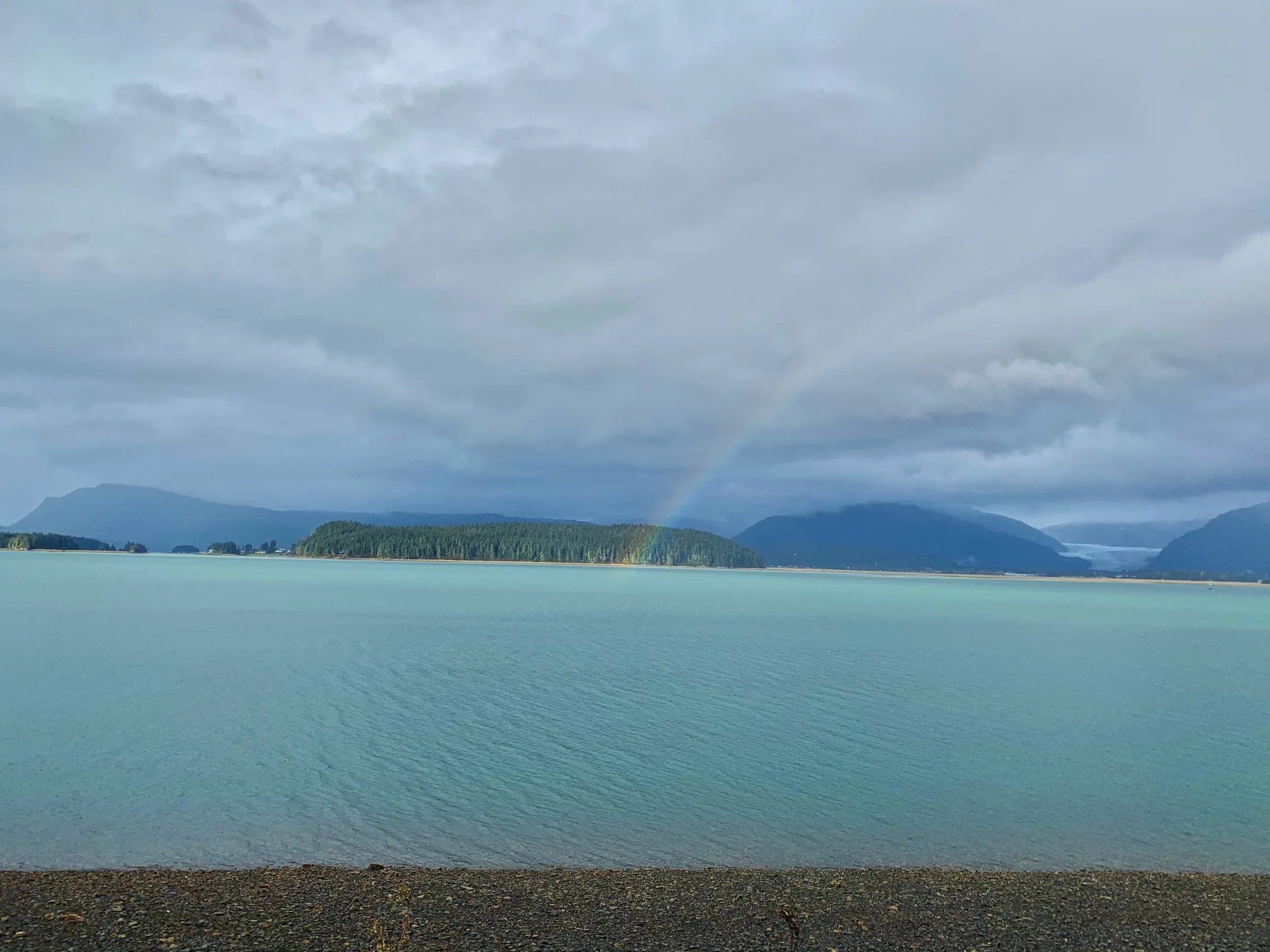
Auke Bay Recreation Area: 0 - 3 miles, easy
Stroll along a trail in the woods or just walk the beach, it might amount to a couple miles if you go all the way out to the point and back. The forested area is pretty and the views of the water from the beach are peaceful. This is a simple way to get out and enjoy nature and you really don’t even have to hike or walk. There are shelters you can hang out in with views of the water as well.

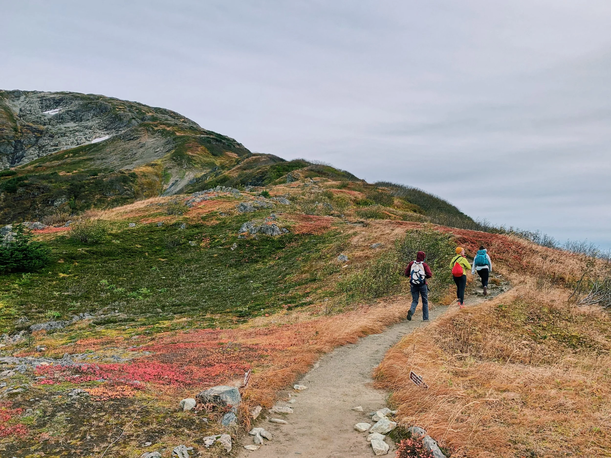
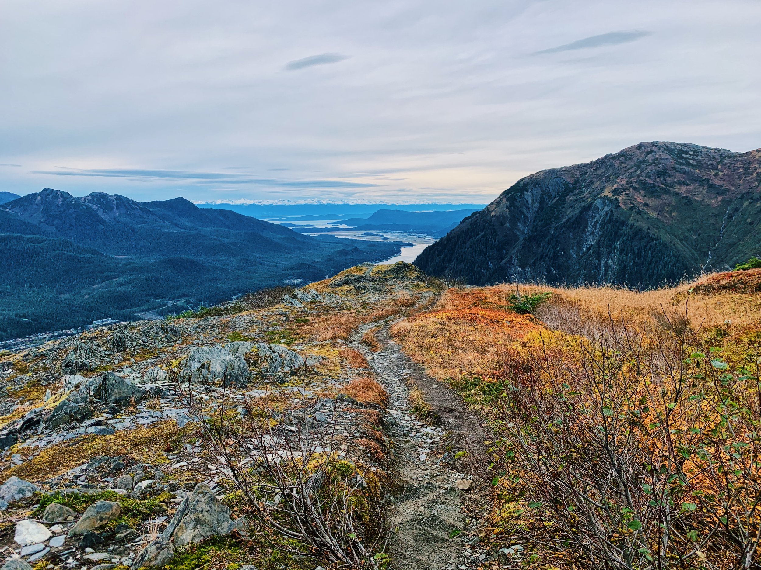
Mount Roberts : 0 - 7.5 miles- easy if riding the tram, hard if hiking the whole thing
If you do the whole hike it is about 7.5 miles out and back and over 3,000 feet in elevation gain. However if you want to only hike up or down part of it or none of it, you can take a tram part way up the mountain. This gives you great views of the city of Juneau and can give you a jump start on the hike. If you hike up to the tram from the trailhead just above the downtown neighborhood you can also get a ride down on the tram.

Sandy Beach and the Treadwell Mine Trail: 2 miles, easy
Located on Douglas Island, this is not just a pretty nature trail, but has interesting history on the mine that was once located in the area. Pass by the old mine building and other equipment left behind. It is a pretty flat 2 mile loop with informational plaques along the way. It is also nice to wander along the beach where you can also see remmants of the mine and have great views of downtown Juneau and Mount Roberts.


North Douglas trail, known to locals as the “powerline trail”: 6 -8 miles, moderate
This trail starts at the end of the road in North Douglas and goes along property owned by the power company, but it is well traveled. It is about three miles and fairly flat to get out to the first camping spots. There are flat areas in the trees and access to the beach or you can go further, where the trail gets a little more rugged, but ends at a point with even better views. This is fun as a day hike, or a great spot if you are looking for a relatively easy backpacking spot.


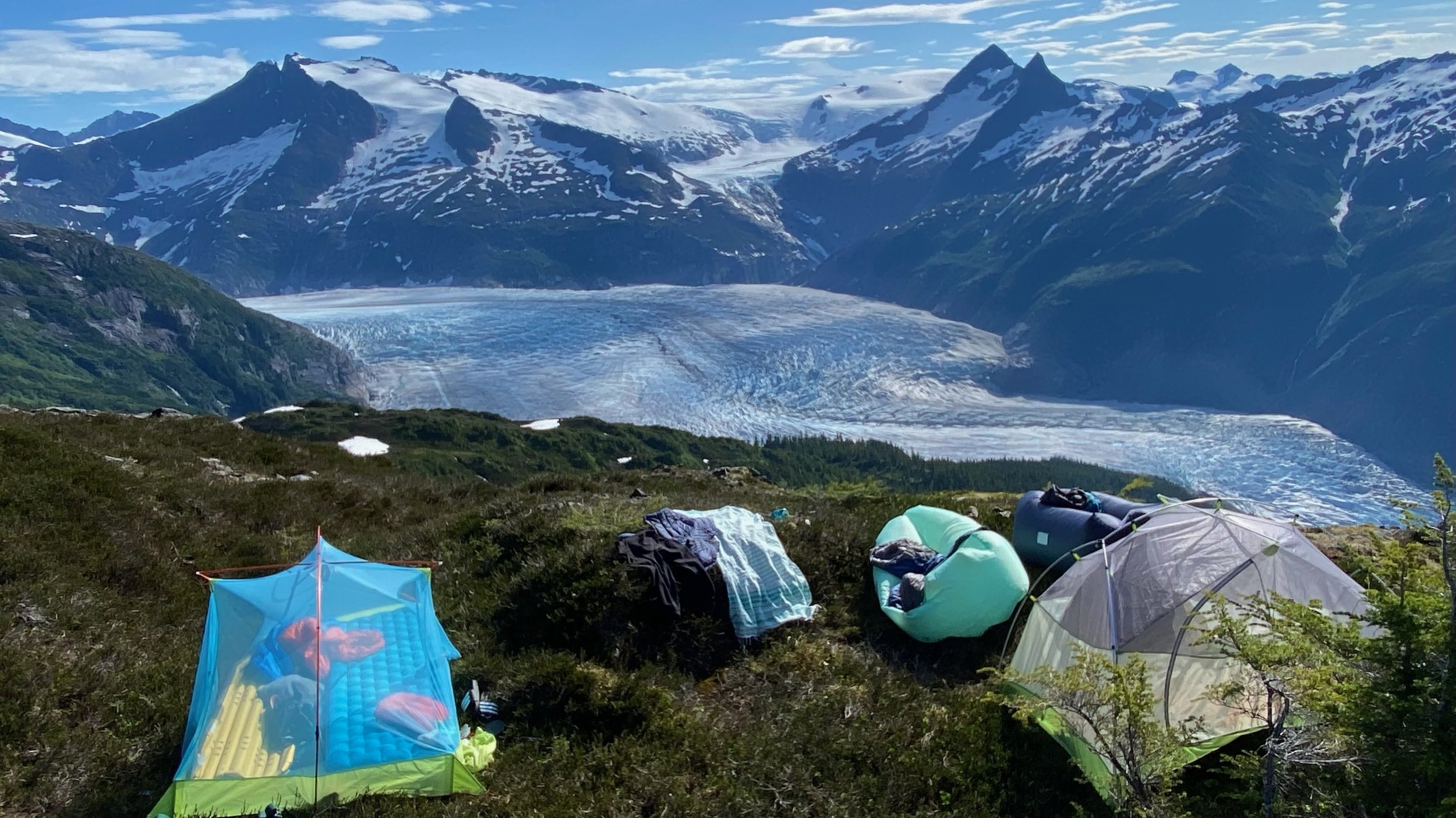
Mount McGinnis: 10.5 miles, difficult
The trail start of the west glacier trail and then continues up to McGinnis. It is an over 10 mile hike, with over 4,000 ft of elevation gain, so you are definitely putting in some work to make it up here. But you are rewarded with incredible views of the Mendenhall icefield and surrounding mountains.
Perseverance Trail: 4. 5 miles, moderate
About 4.5 miles round trip and just over 1,000 ft gain, this hike isn’t too challenging. You have great views of the river, waterfalls and feel like your right in the middle of the mountains. The trailhead is located just above downtown Juneau as well, so it is a great trail if you are staying downtown without a car or just don’t have a ton of time.


Ice Caves: 2-4 miles, moderate
The ice caves are really only accessible in the winter when you are able to get up close to the glacier and the ice is stable enough for you to go in it. When the lake is fully frozen you can simply walk across the frozen Mendenhall Lake and explore the edges of the glacier to see if there are any accessible caves. The ice is constantly moving and creating and closing ice caves along its edge. Its a great idea to have microspikes with you for walking and grip on the ice.


Out Glacier Highway:
John Muir Cabin: 7 miles round trip, difficult
The Cabin is accessed by a 3.5 mile trail from the spauldling meadows trailhead off glacier highway. The trail gains about 1,500 and is partially boardwalk through muskeg, you get up towards the Alpine. It can be accessed in summer or winter by snowshoes or skis. It is available to rent here. Even if you are not able to rent the cabin, it is still a great hike with some amazing views on a clear day.


Windfall Lake: 7.7 miles, moderate
A 7.7 mile out and back hike that is pretty flat. Much of the trail is boardwalk and can be slick and other parts pretty muddy. Good waterproof boots are highly recommended if you are doing this hike. There is a Forest Service Cabin at the lake you can rent if you want to spend a night or two, but it is also popular for just a day hike. The trail ends at a big lake and row boats available to paddle around the lake if you stay at the cabin and you can make your way up some little creeks in the boats as well.


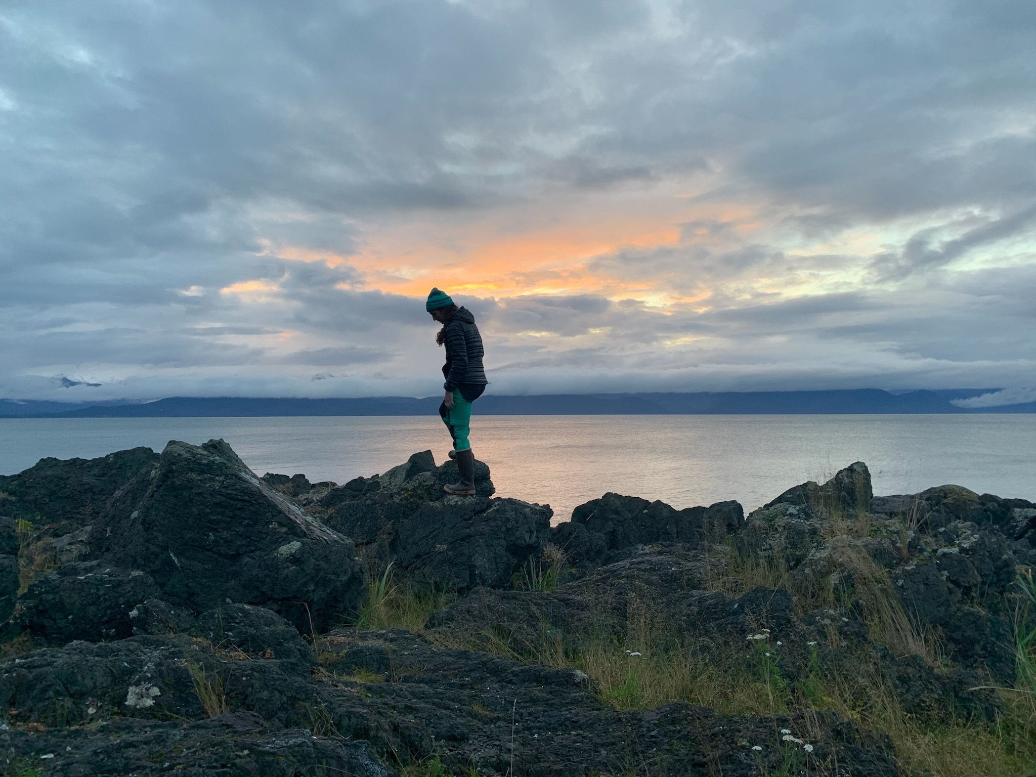
Breadline Trail: 3 miles, moderate
A three mile trail along the bluff. It is pretty flat, but recent fallen trees have made it a little more challenging. It does have fantastic views of the ocean and mountains though, just not great for beach access if you are hoping to make it directly to the water.
The Shine of Saint Therese: 0.5-3 miles, easy
Just a short path from the parking lot will take you out to the point where the shrine is located. It is a beautiful old stone building nestled in the trees and the point has great views of the ocean. You might even see some whales off shore, fish in the nearby creek, marmots playing in the grass, and sometimes bears. There is also a beautiful labyrinth you can walk through and another short path along the beach front.


Cowee Meadows & Blue Mussel: 5-7 miles, moderate
The trailhead for both cabins starts at Point Bridget State Park. It is about 2.5 miles to the Cowee Meadows cabin and another mile to the Blue Mussel Cabin. A little past the cowee meadows cabin you reach the waterfront and have views of the ocean and mountains, this would be a great destination if you are just doing a day hike. The cabins are 60 dollars per night to rent and you must pack in all your own supplies, other than a dry place to sleep, a stove (you supply the oil) and an outhouse the cabins don’t provide any other gear.


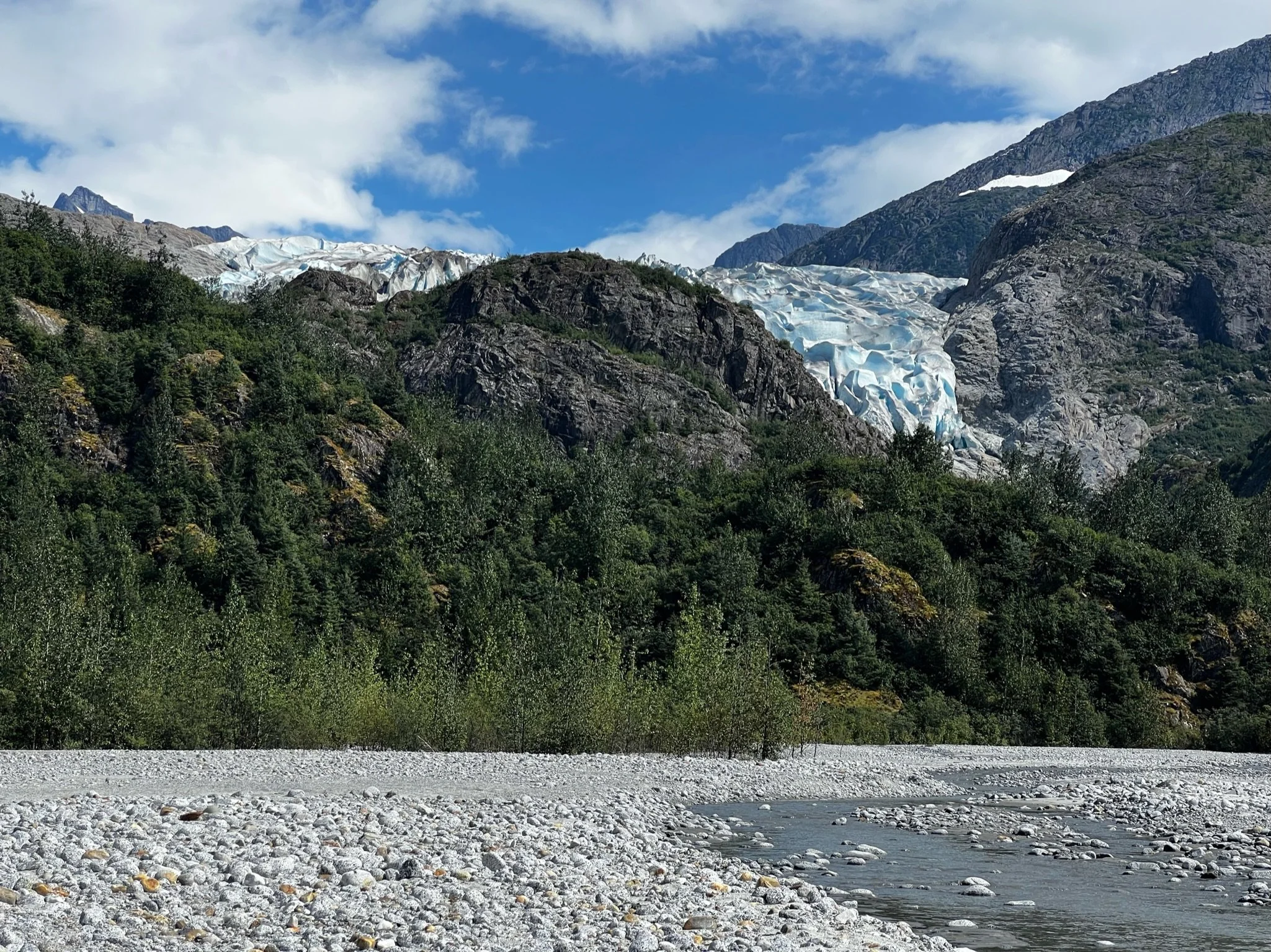
Herbert Glacier: 9.5 miles, moderate
This trail is a little over 9 mile round trip, but it is relatively flat. It could be mountain biked pretty easily, if you didn’t want to hike it. The trailhead is about … miles out the Glacier highway. There is only about 1,000 feet of total gain and you never really feel like you are climbing. If the water level on the river isn’t too high, you get even better views if you walk out on the river bed. This is one of my favorite hikes in Juneau, you get such incredible views for not a ton of effort.
Boy Scout Camp Trail : 4.5 miles, easy
About 4.5 miles out and back, but pretty flat. This trail follows the river and then pops out along the water. You have great views of the grassflats, ocean, and surrounding mountains.


